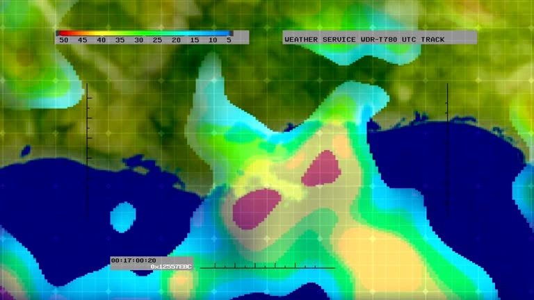
Course Overview
This course provides participants with the knowledge and skills to apply Geographic Information Systems (GIS) in Monitoring and Evaluation (M&E) processes. The training emphasizes the integration of spatial data and GIS tools into M&E frameworks, enabling more accurate and efficient tracking, reporting, and analysis of project outcomes. Participants will learn how to utilize GIS for data collection, spatial analysis, visualization, and decision-making, ultimately enhancing the effectiveness of M&E activities across various sectors.
Course Duration
5 Days
Who Should Attend
- M&E professionals looking to incorporate GIS into their existing processes.
- Project managers and coordinators involved in data-driven decision-making.
- GIS specialists interested in expanding their expertise into M&E.
- Development practitioners working on projects that require spatial data analysis.
- Researchers and data analysts focusing on spatial dimensions of projects.
Course Objectives
By the end of this course, participants will be able to:
- Understand the principles and applications of GIS in Monitoring & Evaluation.
- Integrate spatial data into M&E frameworks to enhance project tracking and reporting.
- Utilize GIS tools for spatial data collection, analysis, and visualization.
- Apply GIS-based techniques to assess project impacts and outcomes.
- Develop maps and spatial reports that effectively communicate M&E findings.
Course Outline:
Module 1: Introduction to GIS and M&E
- Understanding GIS and its components
- The role of GIS in M&E
- Integrating GIS into the M&E cycle
Module 2: Geospatial Data Collection and Management
- Types of geospatial data (raster, vector)
- Data acquisition methods (GPS, remote sensing)
- Data preprocessing and cleaning
Module 3: GIS Analysis for M&E
- Spatial analysis techniques (buffering, overlay, interpolation)
- Spatial statistics and modeling
- Using GIS for impact assessment
Module 4: Visualization and Communication
- Creating thematic maps for M&E
- Effective map design and communication
- Interactive mapping and web-based GIS
Module 5: Case Studies and Applications
- GIS applications in different sectors (agriculture, health, disaster management)
- Real-world examples of GIS in M&E
- Challenges and opportunities in using GIS for M&E
Customized Training
This training can be tailored to your institution needs and delivered at a location of your choice upon request.
Requirements
Participants need to be proficient in English.
Training Fee
The fee covers tuition, training materials, refreshments, lunch, and study visits. Participants are responsible for their own travel, visa, insurance, and personal expenses.
Certification
A certificate from Ideal Sense & Workplace Solutions is awarded upon successful completion.
Accommodation
Accommodation can be arranged upon request. Contact via email for reservations.
Payment
Payment should be made before the training starts, with proof of payment sent to outreach@idealsense.org.
For further inquiries, please contact us on details below:


